Can I use custom city names?
Edit address and title lines freely for neighborhoods or landmarks.
Free trial · Add time, location, and proof overlays in your browser
Turn trip captures into readable logs with date, city, and coordinate overlays. Perfect for bloggers, guides, and anyone who wants memories sorted by when and where.
Portland, OR · 45.5152°N, 122.6784°W
17:55:20
Jul 4, 2024 · Thursday
Add consistent travel lines so albums, blogs, and print books tell the route story without manual captions.
Show city, landmark, and coordinates on the photo itself.
Mark sunrise hikes, meals, and transit hops with visible clocks.
Tune fonts and colors to match your travel brand.
Process a whole day of shots with one travel template.
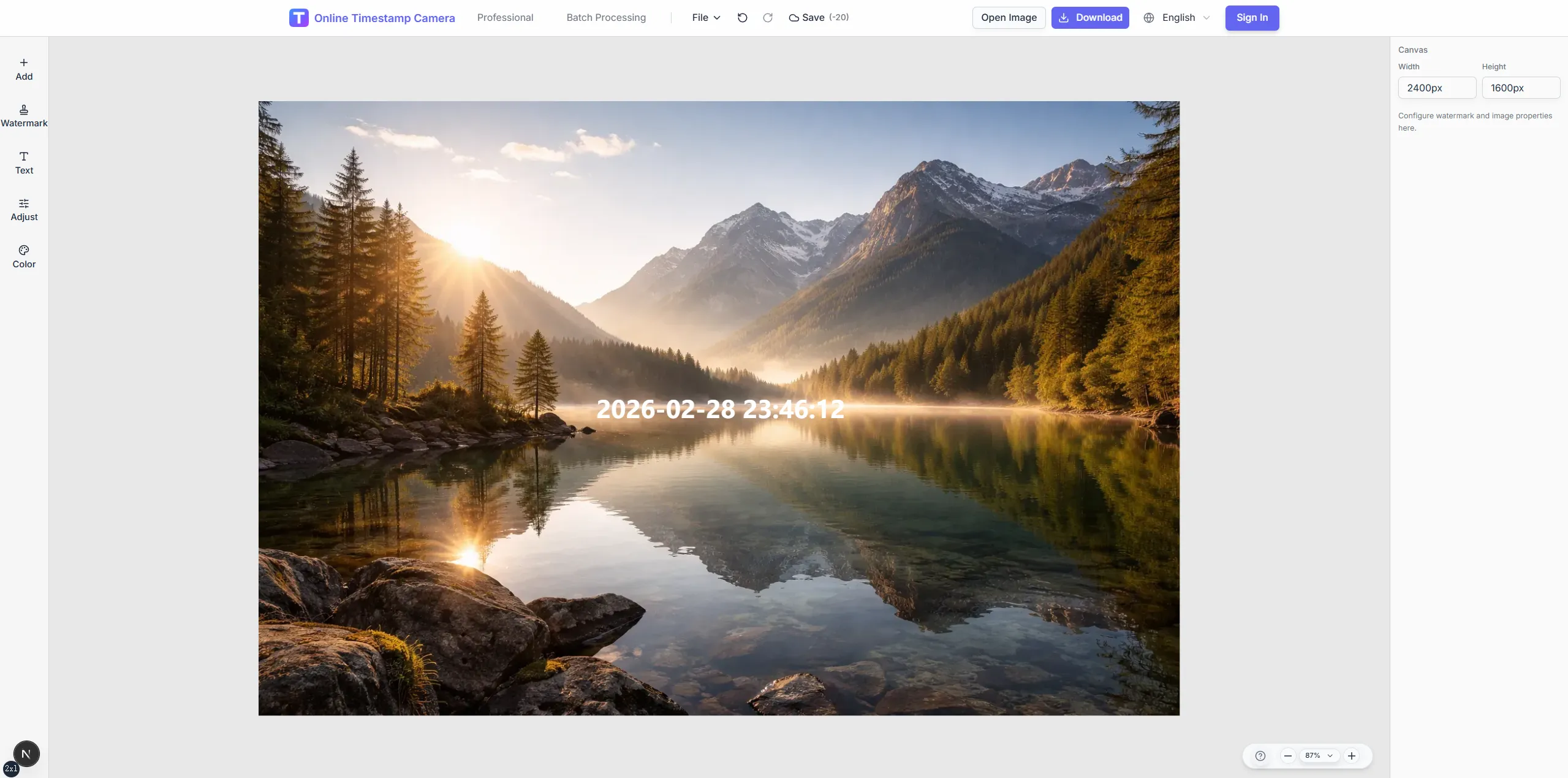
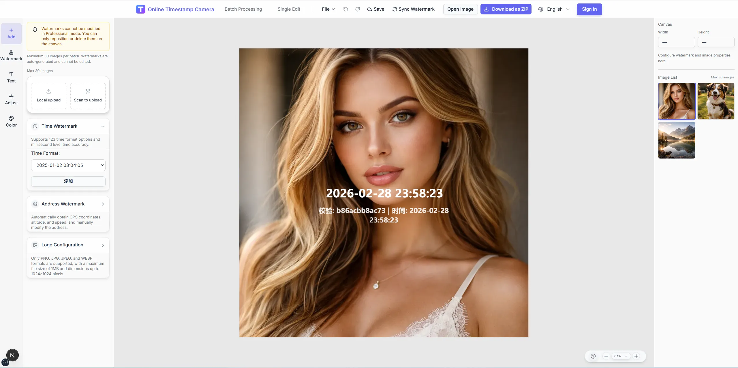
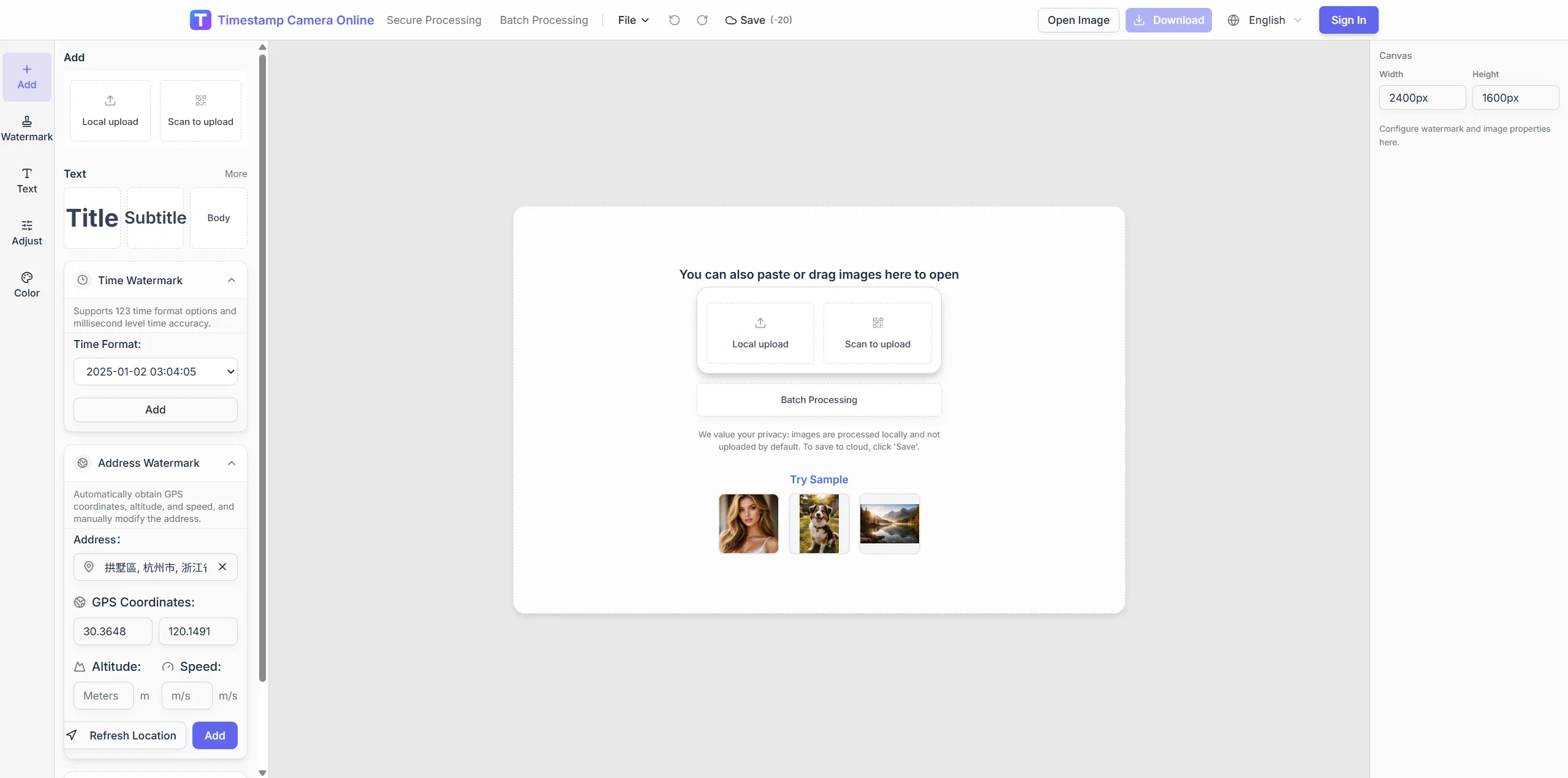
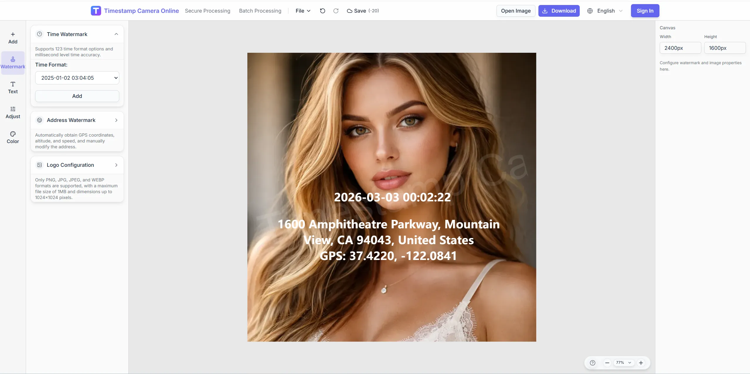
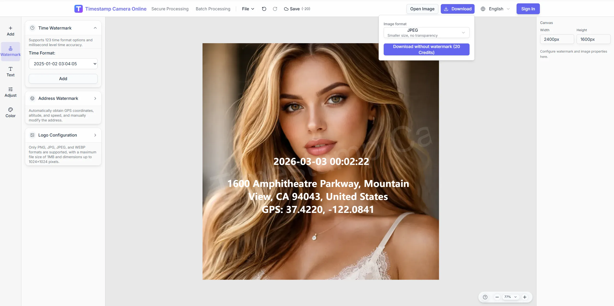
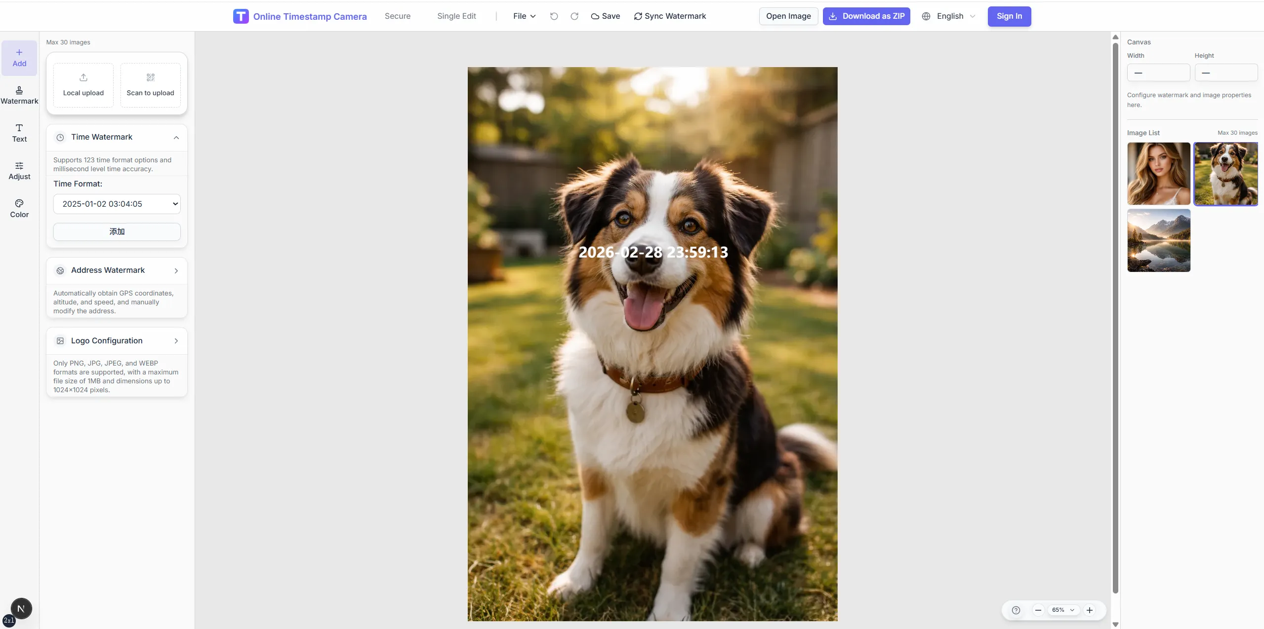
Convert travel shots into organized journal images with place, time, and trip context already visible.
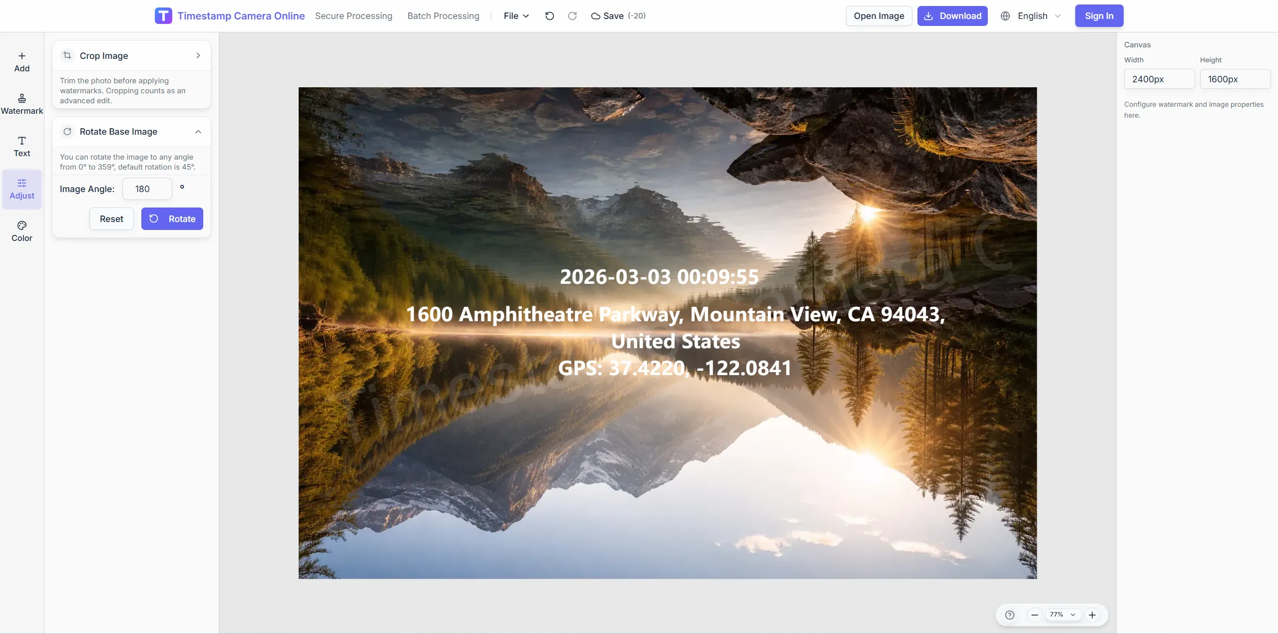
Crop scenic frames, apply travel-friendly color tones, and add place text before publishing albums or client route logs.
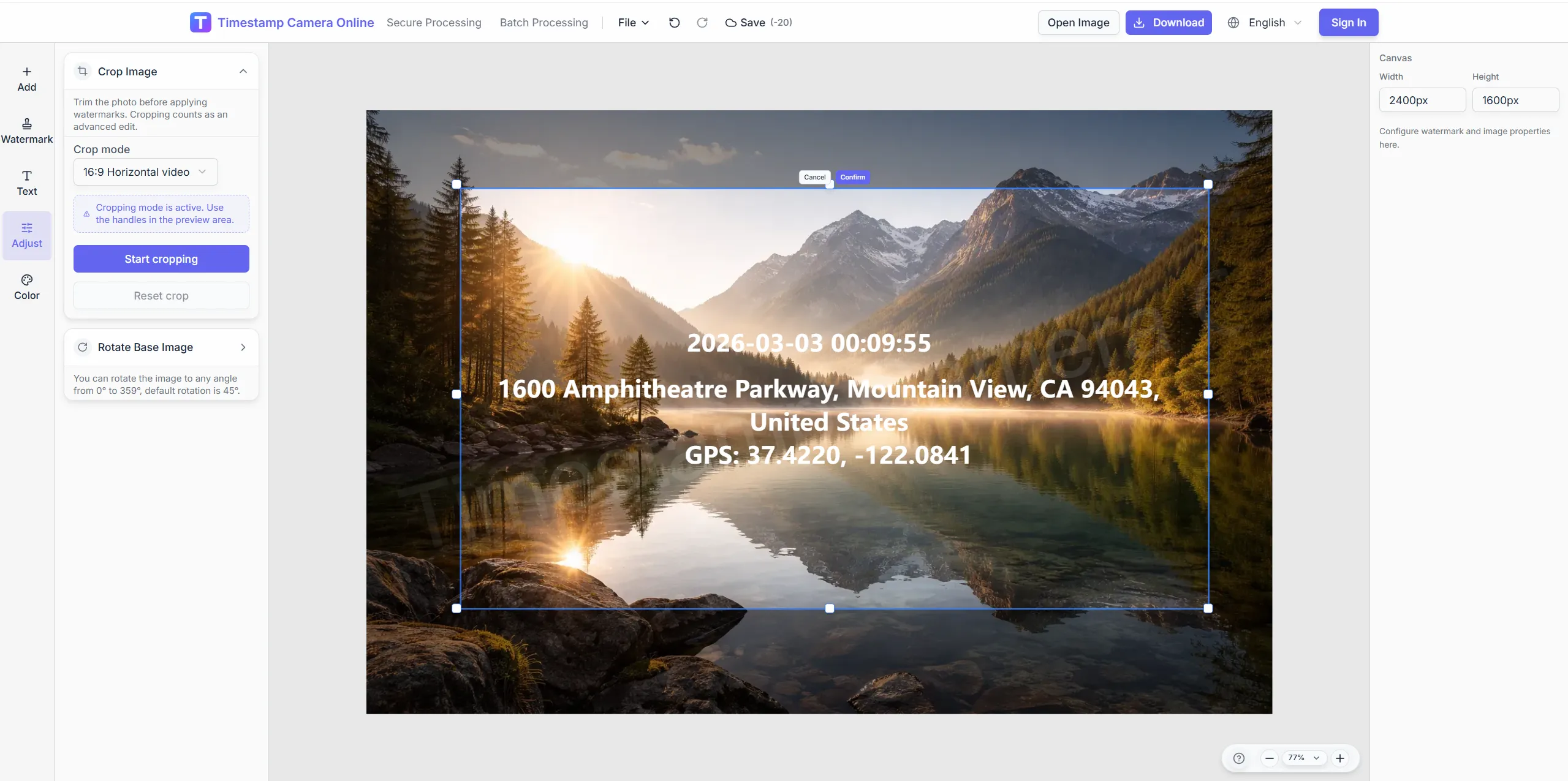
Preset widescreen crops for hero travel images.
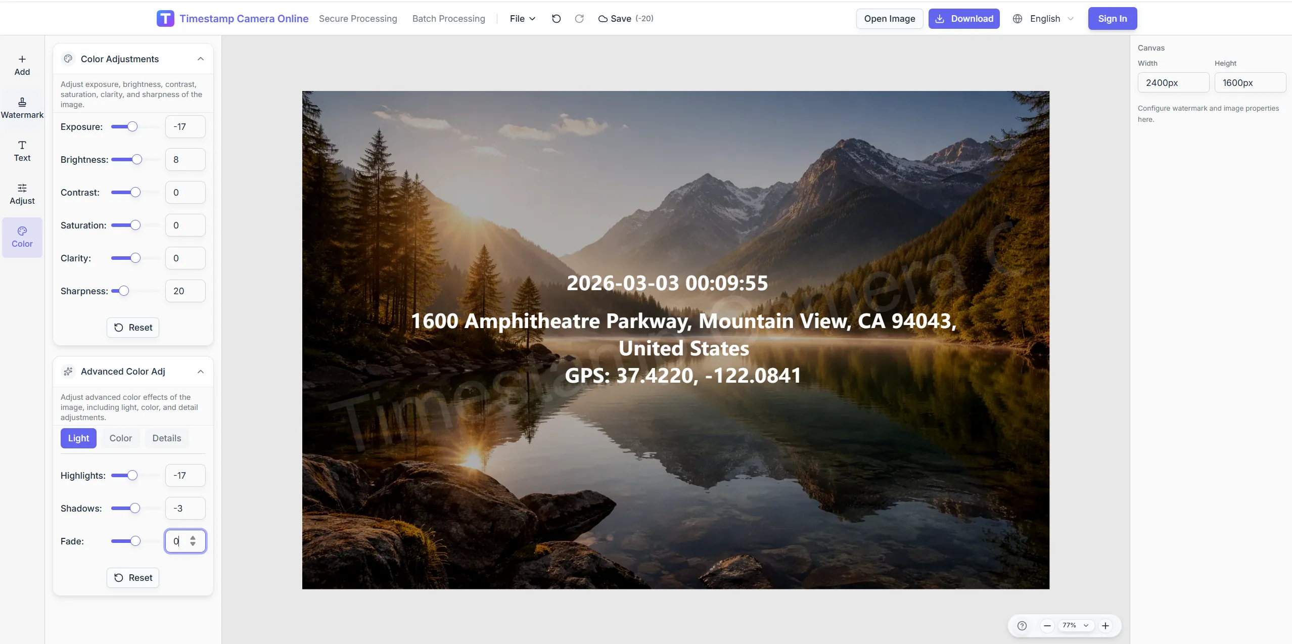
Apply sunset-friendly tones before adding place text.
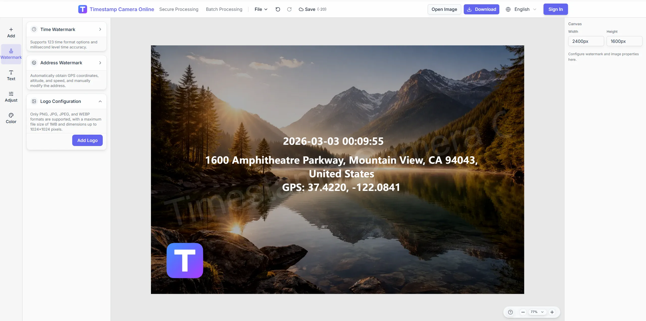
Brand journal exports with your channel mark.
Share public travel shots with privacy masks.
Organize trips with city, route, and time location lines.
Import JPG, PNG, or HEIC.
Configure layers for this scenario.
Confirm reviewers can read at a glance.
Download or refine in the editor.
Travel photo journals pair well with geotags, timestamps, event logs, and branded exports when trips need both memory and organization.
Show coordinates and addresses when travel logs need precise location context.
View scenario
Create GPS-stamped travel records from ordinary camera or phone photos.
View scenario
Package travel photos with approved brand marks for client or sponsor delivery.
View scenario
Keep capture time visible for itineraries, route notes, and daily travel logs.
View scenario
Connect trip photos to visits, events, deliveries, or on-site stops.
View scenario
Organize longer trips as dated milestones that remain easy to review later.
View scenario
Organize trips with city, route, and time location lines.
Local browser editing—originals not uploaded.
Visible layers beat EXIF-only for non-technical reviewers.
Templates and batch watermark suit recurring field work.
Not blockchain proof; social shares may lack GPS.
Creators and travel teams describe how visible place and time context make trip archives easier to organize and publish.
My Utah guide blog posts ship faster because city and trailhead lines are already on each canyon photo. Sponsors read route logs instead of hunting EXIF in Lightroom. A two-week departure season exported in one batch without hand captions.
Emma Laurent · Travel creator, Moab UT
Family trip books from our Seattle road trip look professional with matching place text on every stop. Grandparents actually follow the route story page to page. I batch-processed eighty frames from Oregon coast drives in an afternoon.
Robert Pike · Photo hobbyist, Seattle WA
Guide writers in Denver deliver sponsor packets where coordinates and city names sit in the same corner daily. Festival coverage across Colorado stopped needing late-night caption marathons. Clients approved the last three drops without edits.
Chloe Park · Guide writer, Denver CO
Pick upstream/downstream links for this scenario.
Questions about trip labeling, HEIC uploads, coordinate privacy, and batch export for blogs and travel portfolios.
Edit address and title lines freely for neighborhoods or landmarks.
Drag text blocks to fit portrait travel compositions.
Adjust font size, color, and shadow to align with your site style.
Yes. Upload HEIC trip photos directly in the browser.
Travel page focuses on narrative albums; the analyzer focuses on coordinate reads.
Type city or landmark text lines manually.
Sort by capture time then apply one template in batch.
Add logo layers for branded delivery exports.
Try find-photo-location to read remaining EXIF first.
Split by day or city for large sets.
Upload a trip photo and add place-time story lines.