Free trial · Add time, location, and proof overlays in your browser
GPS camera overlays without a special device
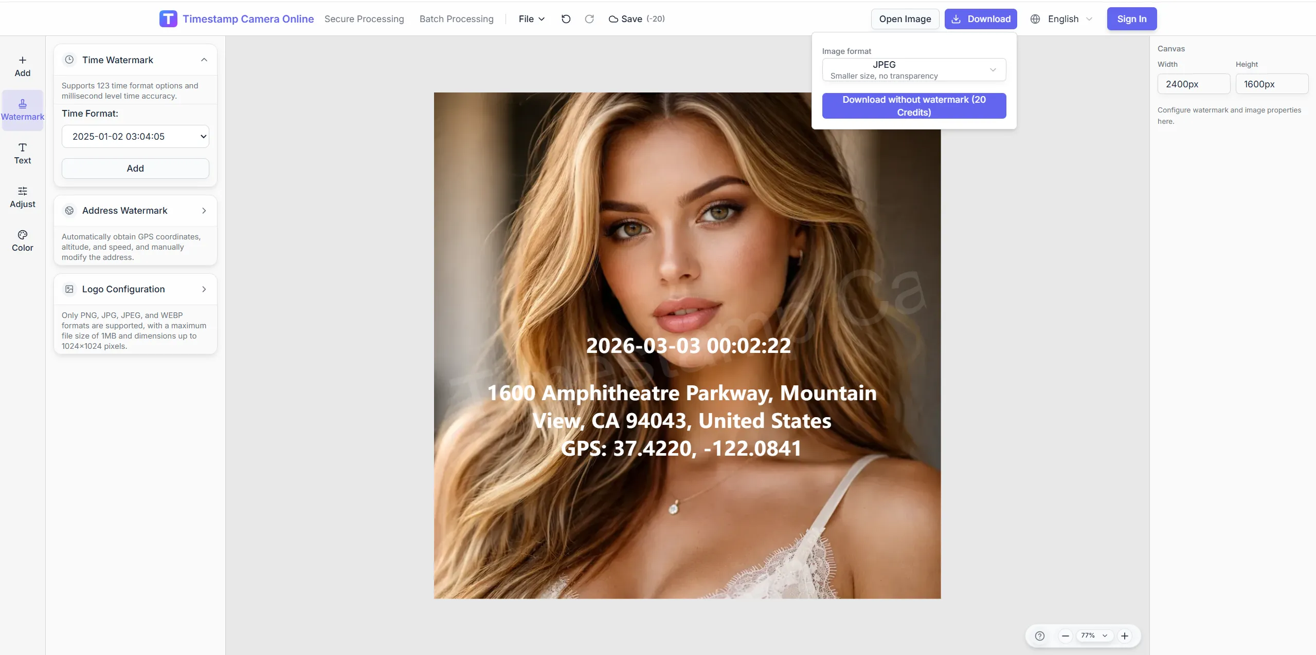
Stamp latitude, longitude, and address on photos from any camera or phone. Ideal for drivers, inspectors, and mobile crews who need location-visible exports fast.
Live GPS
Device GPS · Coordinates
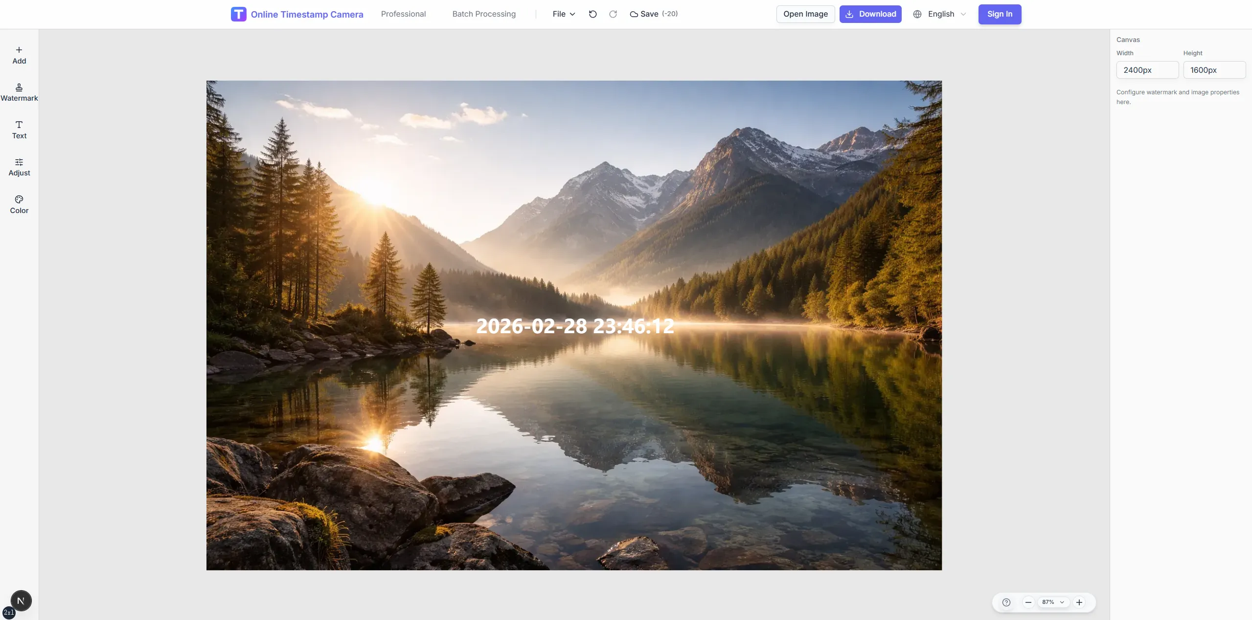
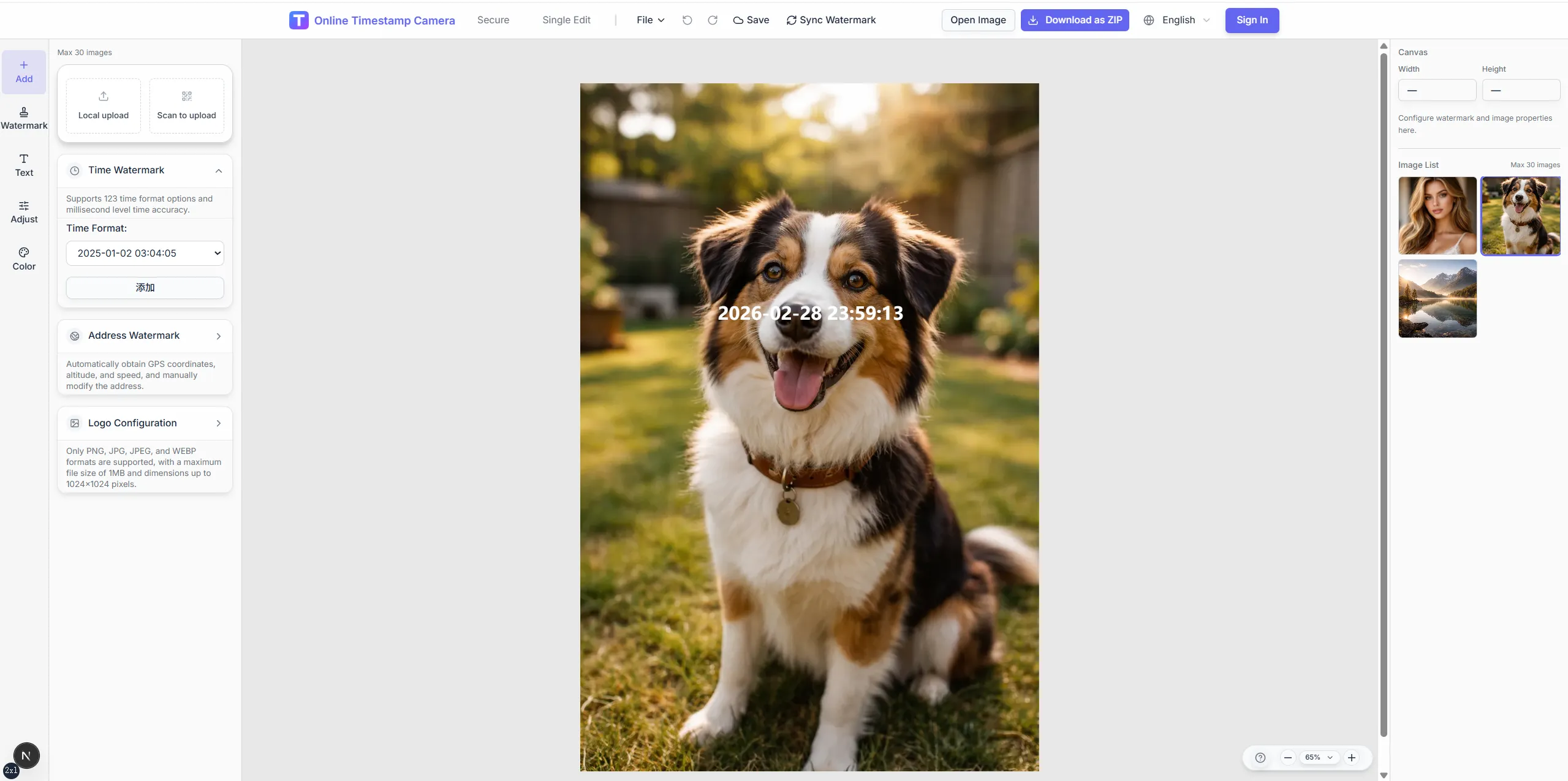
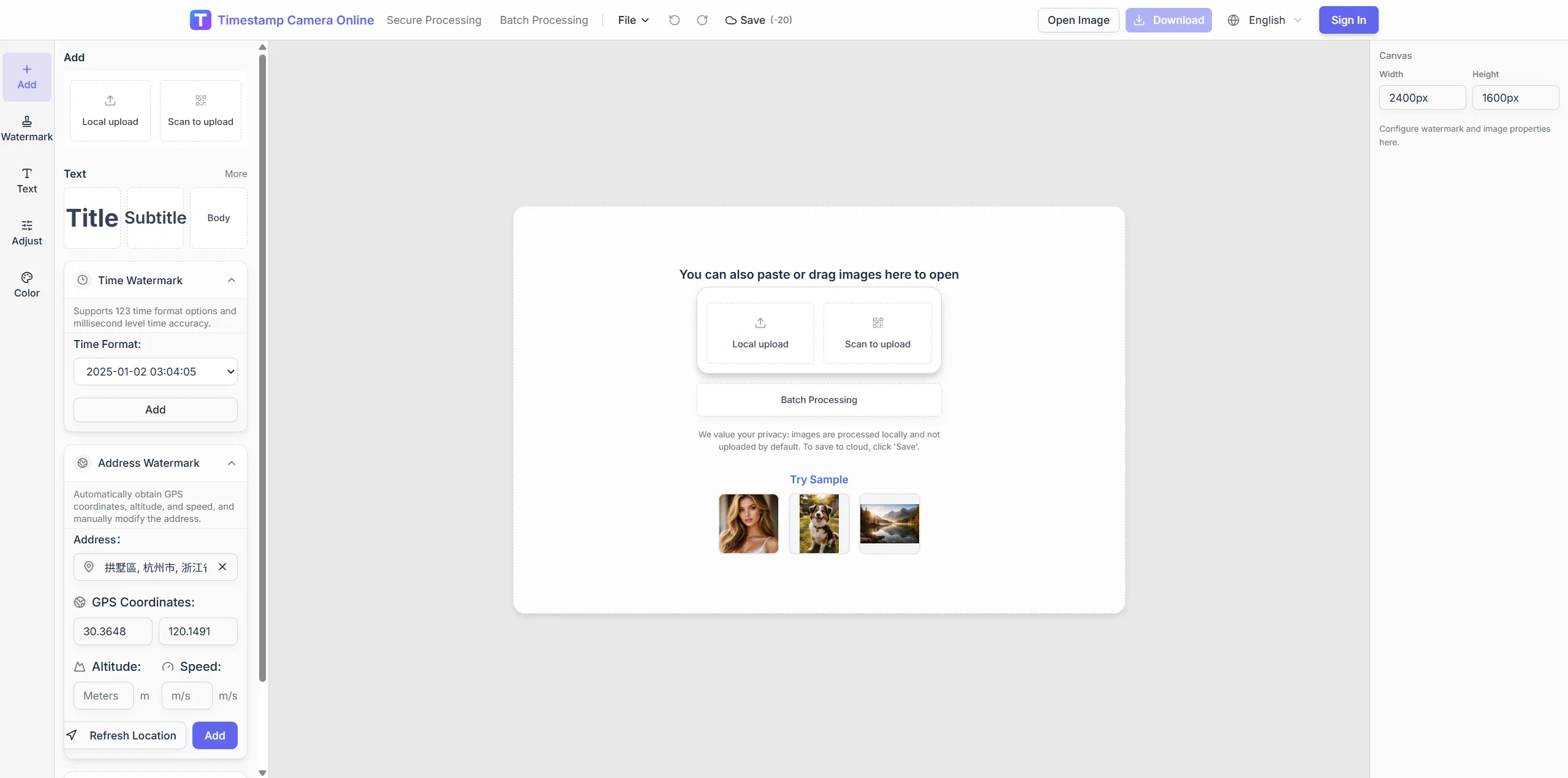
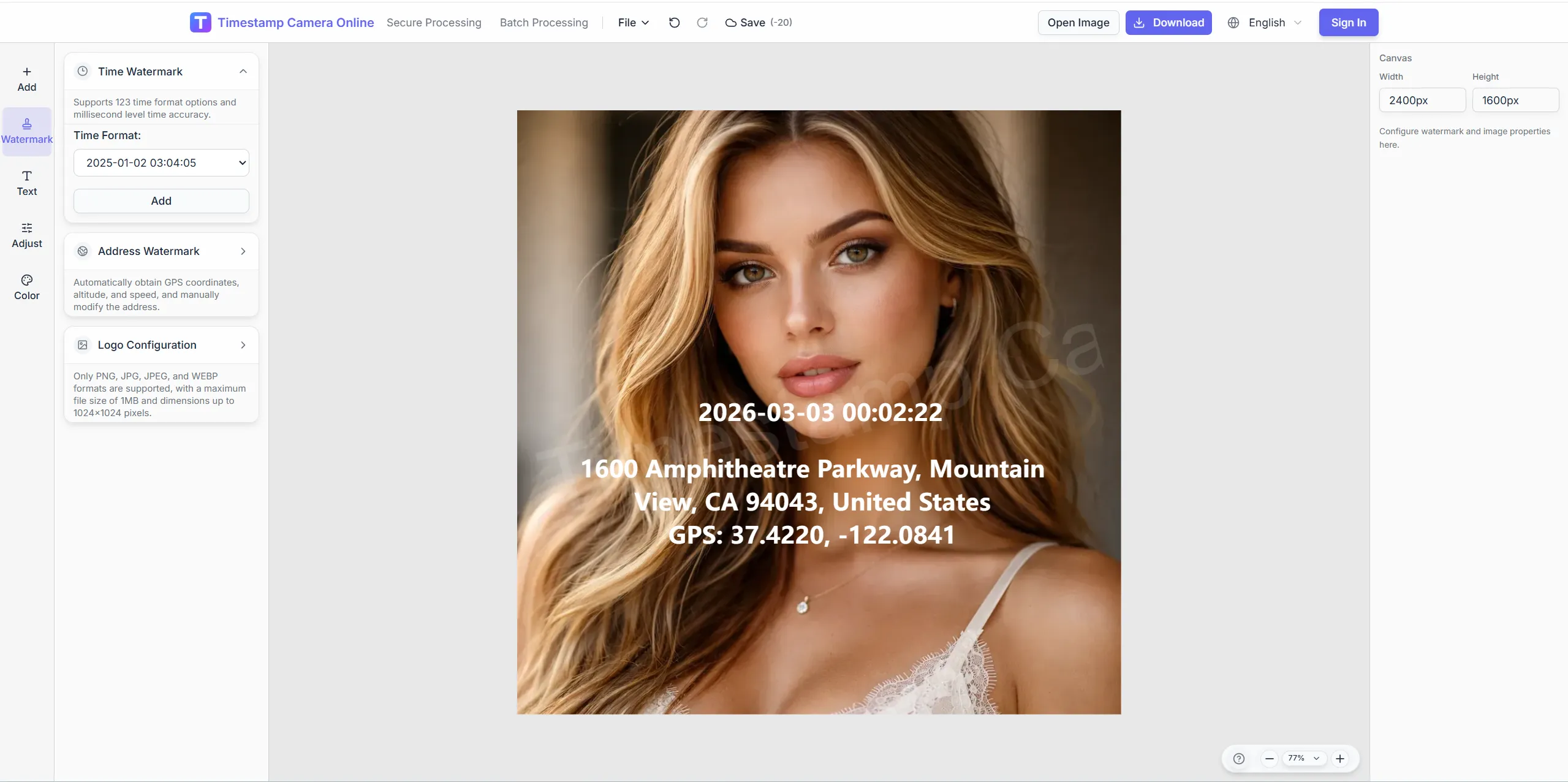
07:45:33
Jun 3, 2024 · Monday
Phoenix, AZ · 33.4484°N, 112.0740°W
Key capabilities
Camera-style location proof on every shot
Mirror dedicated GPS camera apps by layering time, coordinates, and address on images you already capture.
Coordinate + address block
Display map-style location lines with adjustable fonts and backgrounds.
Speed and altitude options
Add motion or elevation context when routes or climbs matter.
Phone-to-desktop handoff
Scan QR upload to move a mobile capture into a larger editing session.
Batch GPS stamping
Apply one GPS layout across a folder of patrol or delivery photos.

From capture to GPS-stamped export
Turn existing camera or phone shots into consistent GPS-stamped exports for dispatch, routes, and field review.
Upload the photo you took on site or transfer from your phone.
Fill GPS fields, timestamp, and optional QR or logo layers.
Download GPS-stamped images for reports or archives.
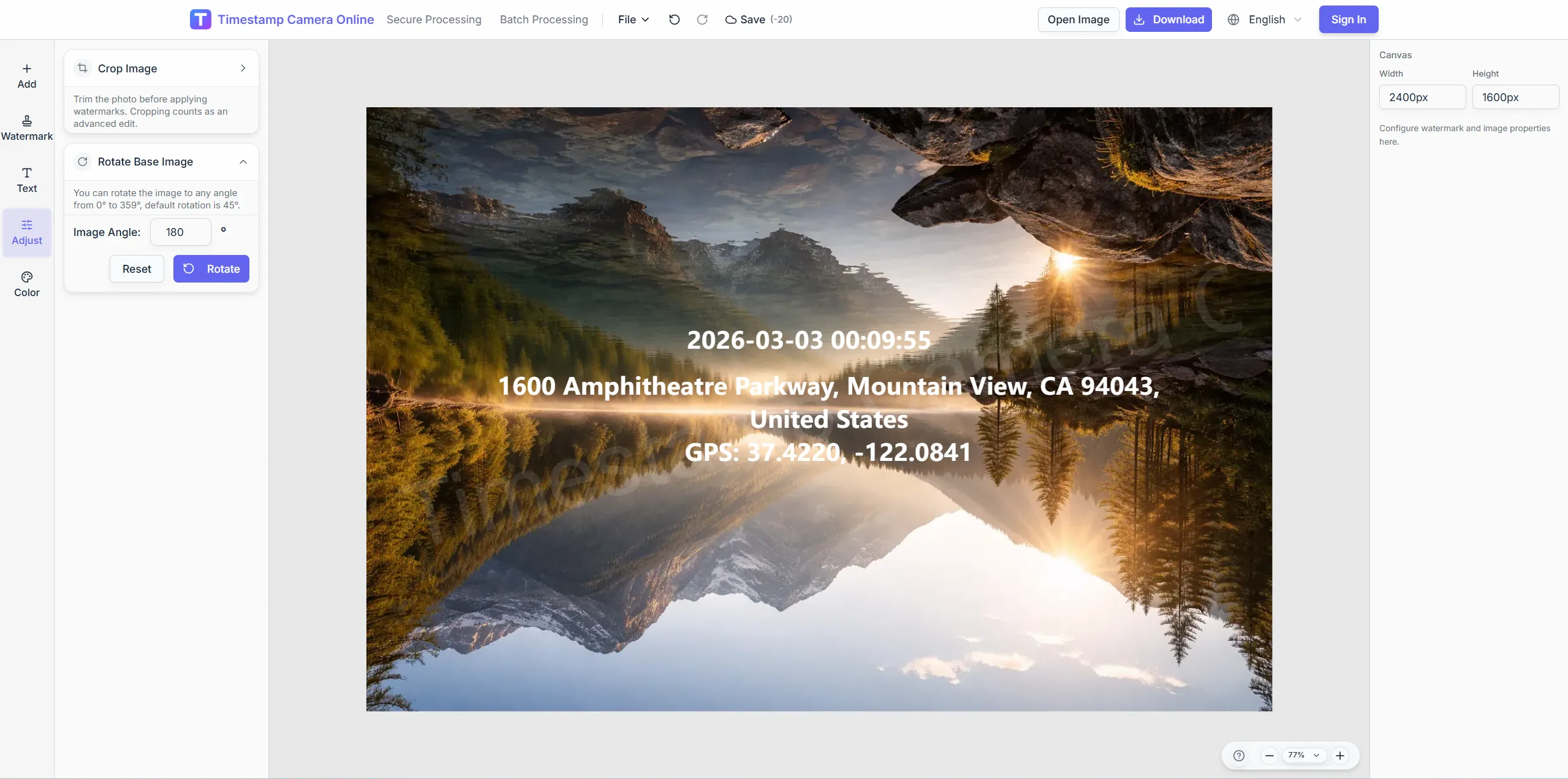
Editing tools for your workflow
Adjust framing and readability on mobile captures before GPS lines go to dispatch, patrol, or logistics folders.
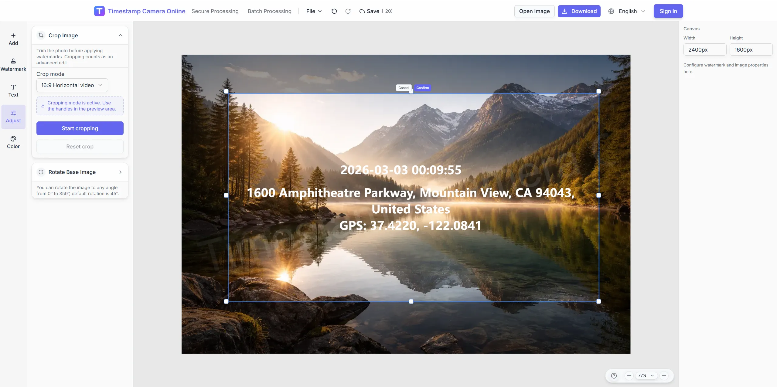
Rotate misaligned captures
Fix portrait patrol shots before placing the GPS block.
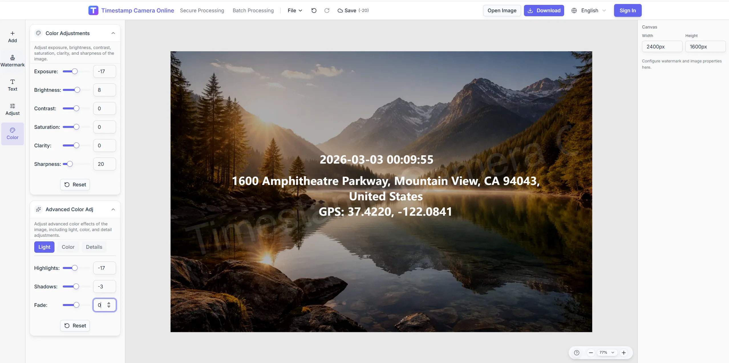
Brighten night route photos
Lift exposure so coordinate text reads on dark road scenes.
Fleet logo on GPS exports
Add company marks next to location lines for branded patrol logs.
Hide sensitive storefront text
Pixelate private signage while keeping GPS data visible.
Related scenarios
GPS camera-style exports connect naturally with route logs, check-ins, branded delivery, and timestamp workflows when field photos need more than location.
Survey-grade geotagging
Show exact coordinates and addresses when GPS camera photos need survey-style location detail.
View scenario
Time + GPS together
Pair GPS stamps with visible capture time for route, attendance, or dispatch review.
View scenario
Trip GPS logs
Build route logs and travel albums that stay organized by place and time.
View scenario
GPS check-in photos
Use GPS check-in photos when managers need to confirm who arrived, where, and when.
View scenario
Remote GPS submissions
Standardize GPS-tagged submissions from remote crews so reviewers can compare updates quickly.
View scenario
Branded GPS exports
Add approved brand marks to GPS-stamped exports for client-ready delivery.
View scenario
What teams are saying
Route, dispatch, and quality teams explain how GPS-stamped photos make field submissions easier to compare without extra hardware.
- 4.9
Houston drivers stamp GPS lines on dash photos before dispatch closes the shift—no extra hardware on the trucks. We unified forty-one routes in two weeks using one overlay template. Coordinators stopped guessing locations from blurry thumbnails.
Tom Reyes · Logistics supervisor, Houston TX
- 5.0
Quality auditors in San Jose photograph supplier bays with the same GPS block our corporate template locks. Phone captures from night shifts import through QR upload without email attachments. Reviewers compare visits across plants without reformatting.
Yuki Tanaka · Quality auditor, San Jose CA
- 4.8
QR handoff from Dallas field reps saved dispatch about nine hours each week last month. Every patrol export shows address and coordinates in identical positions. Fleet disputes on suburban drops basically disappeared.
Amira Hassan · Fleet coordinator, Dallas TX
Common questions
Answers about adding GPS to existing photos, mobile upload, coordinate editing, and batch export for field teams.
Stamp GPS data on your photo
Upload any capture and add coordinate overlays instantly.